Date:
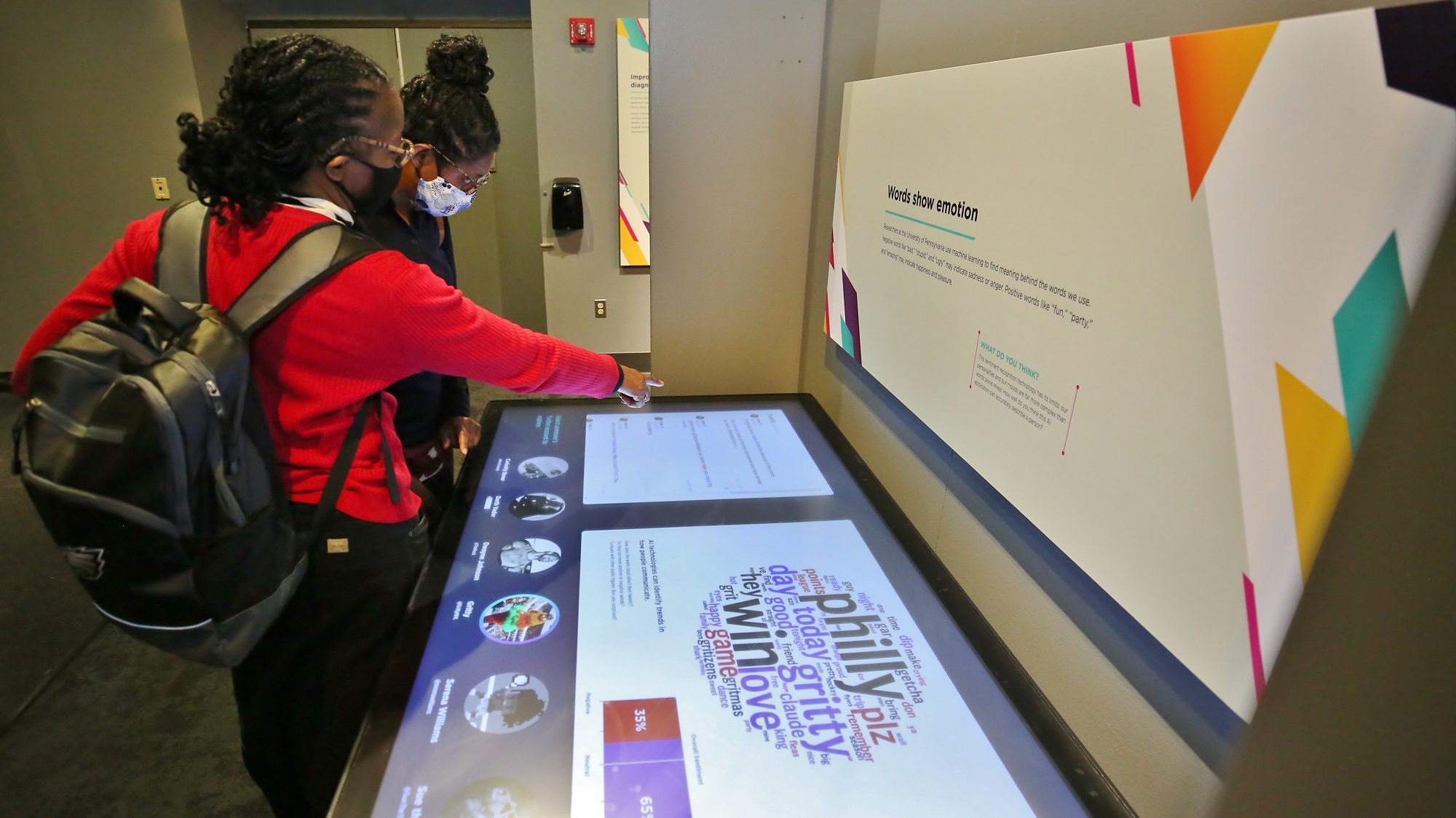
Step into the Franklin Institute’s Now/Next exhibit and you’ll be immersed in the world of artificial intelligence (AI). Explore facial recognition, machine learning, robotics, and… a sand table?
At first glance, the humble sand table seems out of place in such a futuristic, tech-heavy space. But upon further inspection its accompanying story is revealed, one which underscores the power AI can have in helping humanity solve some of its most pressing problems.
Bathed in a light source projected from above, the sand’s surface appears at first shades of green and brown, each indicating progressively higher elevation which lies “above sea level”. But remove sand in one area and watch it infill with blue lighting as it slips “below sea level”. Manipulating the sand in this way mimics the real-world process playing out along coastal regions: as sea levels rise, coastlands—and the populations living there—face increased risk to flooding. Making decisions about how to protect these regions, or support their community’s planned retreat inland, hinges upon understanding not only how much sea level will rise, but which lands are lowest-lying and thus at greatest risk.
Surprisingly, high resolution land elevation measurements can be hard to acquire. To assess land elevation on the global scale, scientists turn to satellites. Equipped with onboard radar systems, satellites rotate the globe while scanning the Earth’s surface and calculate elevation of land above sea level. But tall objects protruding above the land surface, such as trees and buildings, can erroneously inflate these elevation values. Without correction, the results could be potentially disastrous: overestimated topography means underestimated flooding. A better alternative to satellite measurements are land-based laser measurements, but these data are prohibitively expensive to obtain, particularly in undeveloped regions.
What if we could gather better elevation estimates in regions that lack the resources to do so? AI could provide the answer.
To answer this question, a clever group of sea level scientists activated an AI technique known as machine learning. Broadly, machines “learn” using algorithms (instructions to complete a task) to take in data and analyze it for patterns. In this case, scientists used machine learning to analyze patterns and features of regions with poor quality (satellite) and high quality (land-based) elevation—a feat far too complex for a human to undertake alone.
Using these patterns to adjust incorrect elevation measurements where only satellite data exist, researchers found that on average coastal regions lie about 6 feet lower than previously thought. That value is big (!) and remarkably comparable to upper end projections of sea level rise by 2100. Thus, with the help of AI, the nearly 300 million people living in these coastal communities can better prepare for the future.
Surprising though it may be, a sand table in the middle of an AI exhibit is perfectly at home.

About the author
Rachel D. Valletta, Ph.D.
As Environmental Scientist, Rachel is dedicated to expanding the breadth and depth of earth and environmental science education within The Franklin Institute and bringing it into the Philadelphia community.
Rachel serves as the Director of the Climate and Urban Systems Partnership (CUSP), a four-city educational initiative seeking to engage urban residents more efficiently and effectively in climate change and resiliency education.